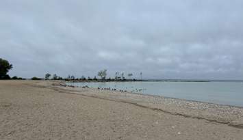
It isn't spring, but it will feel like it across midwestern Ontario this weekend.
Environment Canada is calling for the temperature to rise to 8 C Friday, followed by double-digit highs through to Monday. Wet weather will arrive late Friday with rainfall amounts of 15 to 40 millimetres possible by Saturday night. The national weather agency added that local amounts could be higher due to possible thunderstorms. A yellow level-rainfall warning is in effect for all of midwestern Ontario.
While it will be rainy Saturday, the temperature will climb to 16 C. Sunday will be a little cooler with a daytime high of 10 C, but it will be sunny. The sunshine will stick around Monday with a high of 14 C.
The average daytime high for this time of year is plus 1 C.
"The rain combined with mild temperatures will likely melt much of the significant snowpack and lead to additional runoff," Environment Canada stated. "Water will likely pool on roads and in low-lying areas."
Many conservation authorities in the region have already warned there could be minor flooding this weekend.
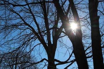
The mild conditions led to thick fog settling into the region Friday morning. It was particularly bad in Huron and Perth counties where a yellow-level fog advisory was issued.
The heavy fog reduced visibility to near zero in spots. Drivers were urged to make sure their vehicle's entire exterior lighting system was switched on and to maintain a safe following distance.
The fog lifted late Friday morning with the advisory ended just after 11 a.m.