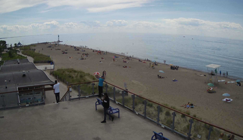
Several local conservation authorities are keeping an eye on the shoreline as an intense low-pressure system brings a cold front and high winds to the region Thursday.
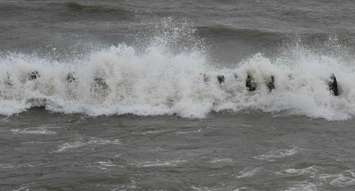
Maximum sustained wind speeds of 40-50 km/h with gusts up to 80 km/h are forecasted over Lake Huron. The strong winds, combined with near record-high water levels on Lake Huron, will result in higher than normal waves hitting shoreline areas.
The increased wave height may result in minor flooding of low-lying coastal areas, as well as increased risk of erosion to lakeshore bluffs.
Maitland Conservation, Ausable Bayfield and Grey Sauble conservation authorities are all monitoring the situation.
Residents and municipal officials are reminded to stay well back from breaking waves, and also to approach top-of-bluff areas with caution, during and immediately after the storm, in case there has been any erosion of the bank.