A new study is being launched to update the floodplain mapping along the Teeswater River.
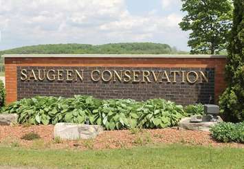
The Municipality of South Bruce council has authorized its staff to work with Saugeen Conservation to prepare a Terms of Reference for updated floodplain mapping for the Teeswater settlement area.
One of the key areas to be studied is the Gay Lea Cooperative Ltd. facility, located in the floodplain along the Teeswater River. Existing mapping and provincial floodplain regulations limit expansion opportunities for the facility.
Erik Downing, Manager of Environmental Planning and Regulations with Saugeen Conservation says the new mapping will be based on computer modelling that will allow for possible new construction, on the condition that flood damage reduction measures are addressed.
He cites the recent example of the condominiums in Walkerton along the Saugeen River, which included measures to allow development while still protecting residents, their property and the environment. The lower floor of the buildings are garages, while the actual living space is above the flood elevation.
"Gay Lea is one of our most prominent businesses within this Municipality and we’re looking forward to the prospect of expansion, additional jobs and a stronger local economy" said Bob Buckle, Mayor of the Municipality of South Bruce. "This initiative will benefit not only Gay Lea but other current and future business development in the Village of Teeswater".