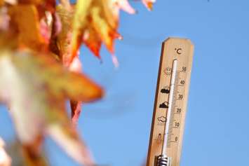
Midwestern Ontarians will have one more day of summer-like heat and humidity to enjoy before it's back to more seasonal conditions.
Environment Canada is calling for a high Monday of 28 C, that will feel like 31 C with the humidity. That is roughly 13 degrees warmer than the average daytime high for this time of year.
The unusually hot conditions more typical of July and August weather patterns moved in late last week and led temperature records to fall in parts of midwestern Ontario on Saturday.
North Perth broke the old record high for October 4 of 27.2 C set in 1951 with a high of 28.1 C and Mount Forest reached the same daytime high, breaking its old record of 27.8 C set in 1926. Goderich tied the October 4 temperature record of 28.4 C which was originally set in 2002.
Rainy weather is forecast to move into the regional Monday night, it will usher in a more seasonable high of 16 C on Tuesday. The normal daytime high for this time of year is 15 C.