A study examining floodplain mapping in the Durham Creek area of West Grey has been undertaken by the Saugeen Valley Conservation Authority (SVCA), and concerned community members can attend an upcoming meeting if they want to learn more.
The study aims to enhance flood risk understanding and explore potential mitigation strategies. Floodplain mapping plays a pivotal role in making informed decisions to protect both people and properties from natural hazards.
This summer, West Grey staff visited properties that have a bridge or culvert on, or near, Durham Creek to measure and survey as part of this study.
A meeting on October 2, 2023 at the Municipality of West Grey council chambers will provide an opportunity for attendees to delve into the study area, gain insights into floodplain mapping intricacies, and engage in discussions.
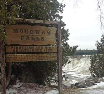
Durham suffered a devastating flood in January of 1997, which saw members of the Canadian Armed Forces sent in for relief, and the evacuation of approximately 200 citizens. The relief efforts included clearing ice affecting a downtown bridge with explosives.
Draft results of the study are expected to be available in the upcoming winter months.