Within the span of 24 hours, it will feel like two different seasons in Southwestern Ontario.
After record cold temperatures and significant snow call during the last week of January, a warm spell began in the region Sunday. On Monday, the forecasted high is 9 C for the region, with up to 15 millimetres of rain expected to start in the afternoon.
According to Mitch Meredith, severe weather meteorologist with Environment Canada, such a drastic change in temperatures can come with challenges.
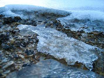
"It's going to be a pretty big melt for all the snow on that ground. That can cause some more serious issues," Meredith said. "If you don't have drains cleaned, you get the ponding and local flooding and the rivers will rise up. Sort of like a spring thaw."
He suggests keeping areas around houses and drains as clear as possible so there is somewhere for melting water to go.
Meredith predicts that the mild weather won't last for long. He said a cold front will move in immediately after, with temperatures going down to -1 C by late Monday night.
"There could be some icy conditions out there, especially with meltwater that's ponding around, it will definitely freeze up," said Meredith. "It's definitely something to consider."
According to Meredith, a thaw like this is fairly unusual for early February. He said averages are usually around a high of -1 C and a low of -8 C.